
Trump is being accused of using a sharpie to alter Hurricane Dorian’s official early projections from the National Hurricane Center to include Alabama:
President @realDonaldTrump gives an update on Hurricane #Dorian: pic.twitter.com/CmxAXHY5AO
— The White House (@WhiteHouse) September 4, 2019
The President of the United States altered a National Hurricane Center map with a sharpie to falsely extend the official forecast toward Alabama so he didn’t have to admit he was wrong in a tweet. https://t.co/i0CJcYV4yq pic.twitter.com/pR57IL6WfT
— Dennis Mersereau (@wxdam) September 4, 2019
Can’t let this go unnoticed. @realDonaldTrump displayed a doctored version of the @NHC_Atlantic forecast for #Dorian.
The black extension past Florida did not exist; that’s not how forecast cones are drawn. pic.twitter.com/GqHikOBYU6
— Ryan Breton (@RyanBretonWX) September 4, 2019
They are saying Trump did this to cover for his mention of Alabama on Sunday.
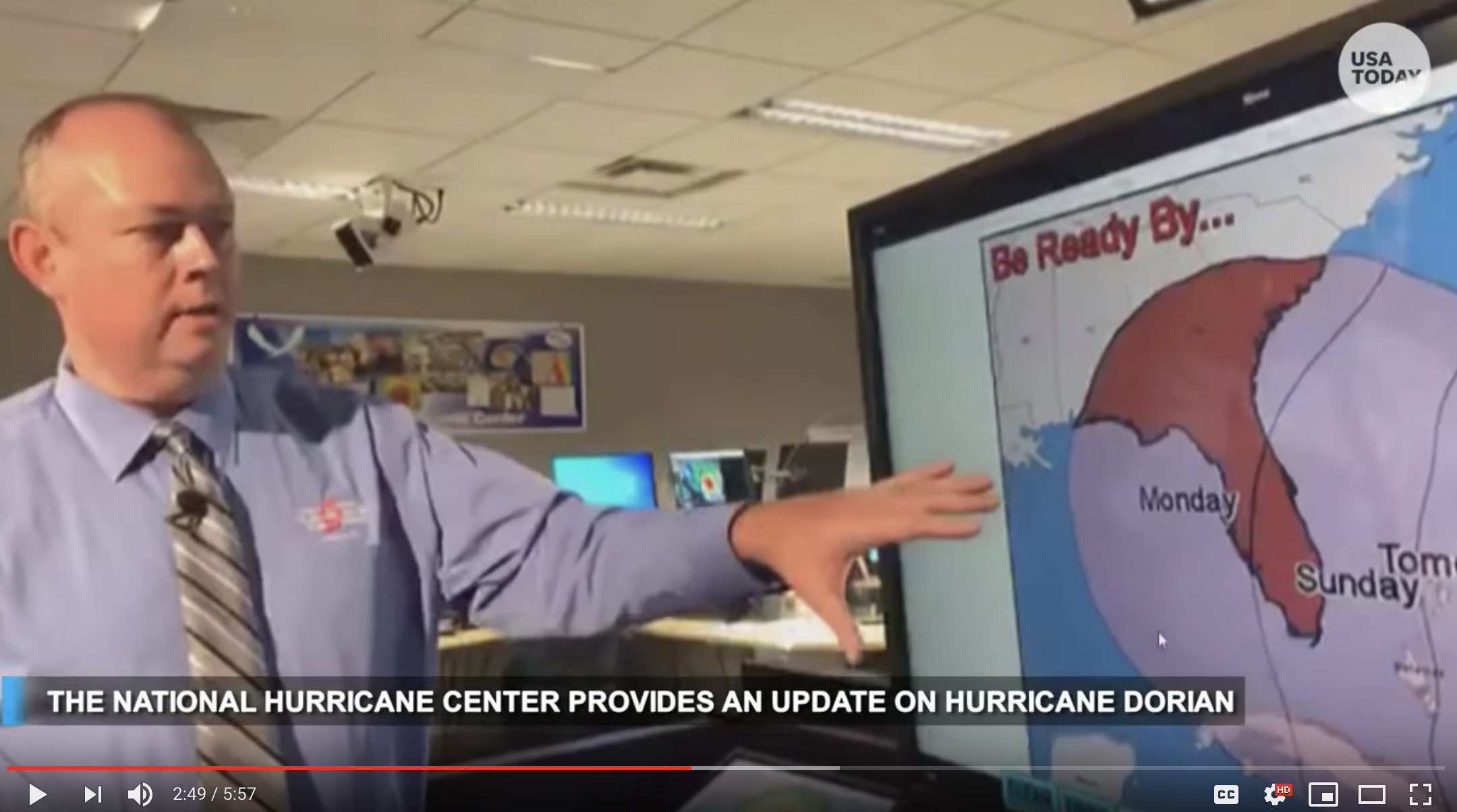
It is true that Alabama wasn’t included in the graphic Trump used, but it was included on other graphics in the original projections by the NHC and we can prove it. Here are a couple of screenshots from their August 30 forecast:

And here’s the video from which these screenshots were taken:
So, in reality, the ‘sharpie’ drawing on the map wasn’t wrong.
Via TRS